Hike La Cloche Silhouette Trail
80km and 5 days of Fall beauty in Ontario’s Killarney Provincial Park
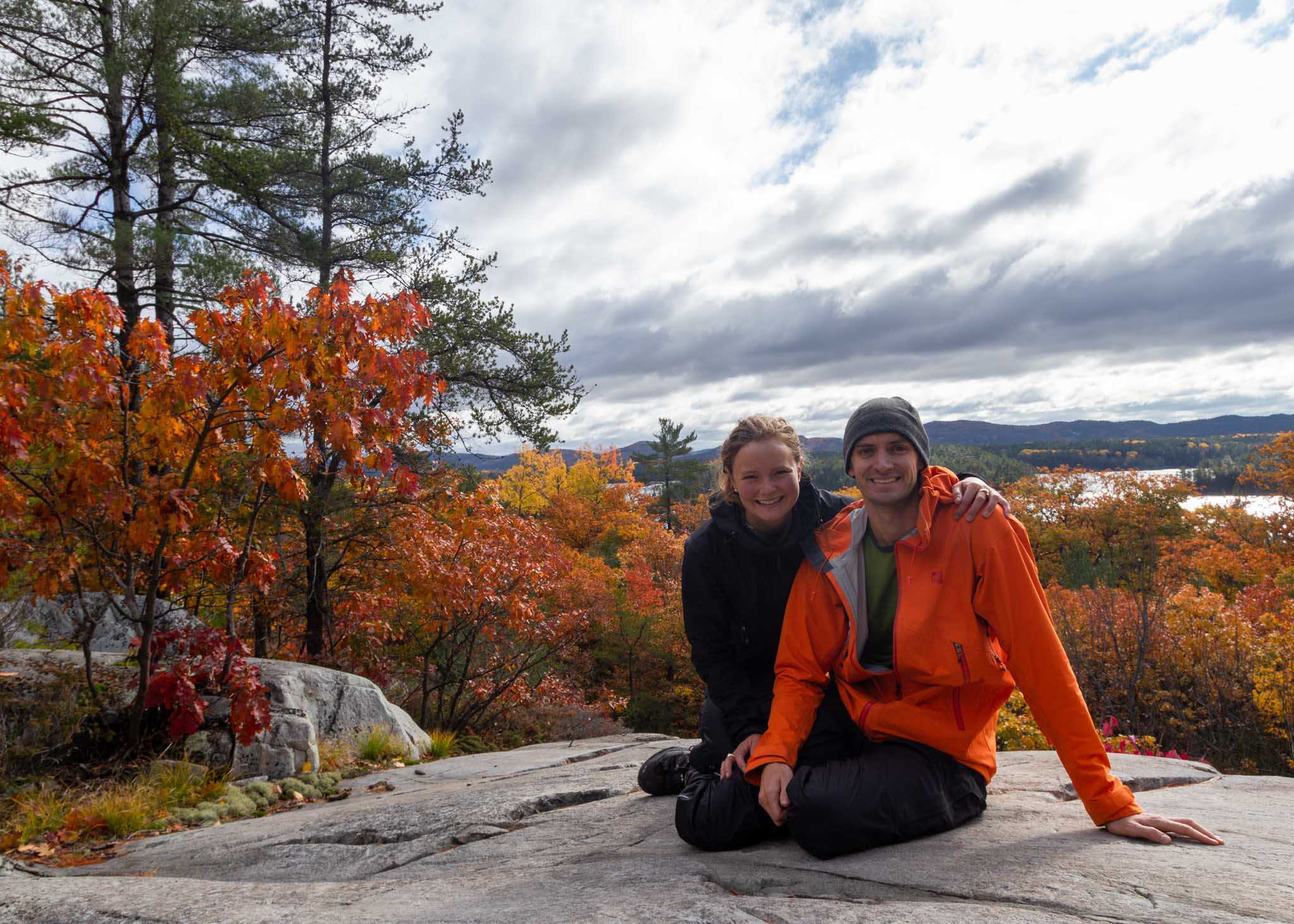
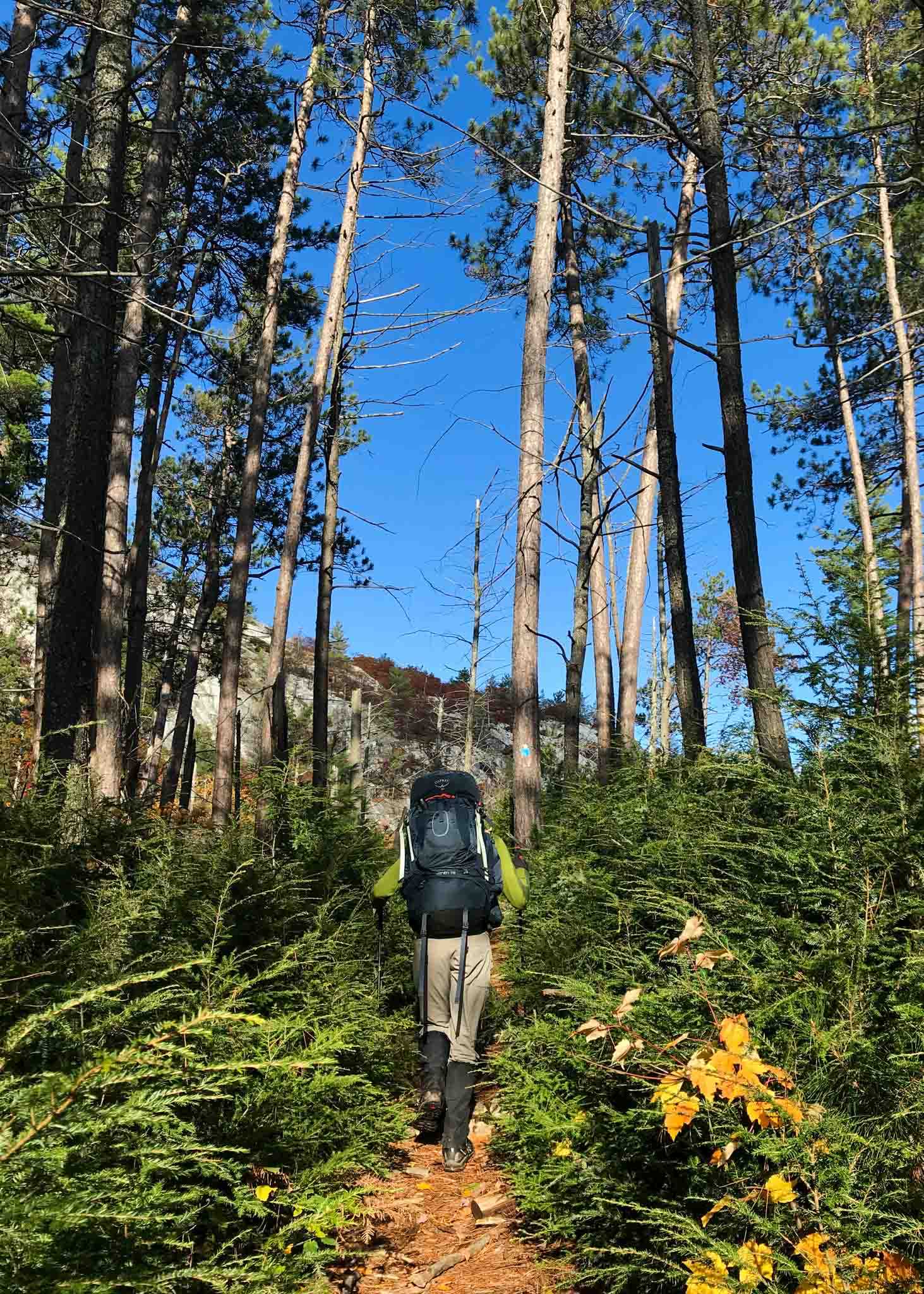
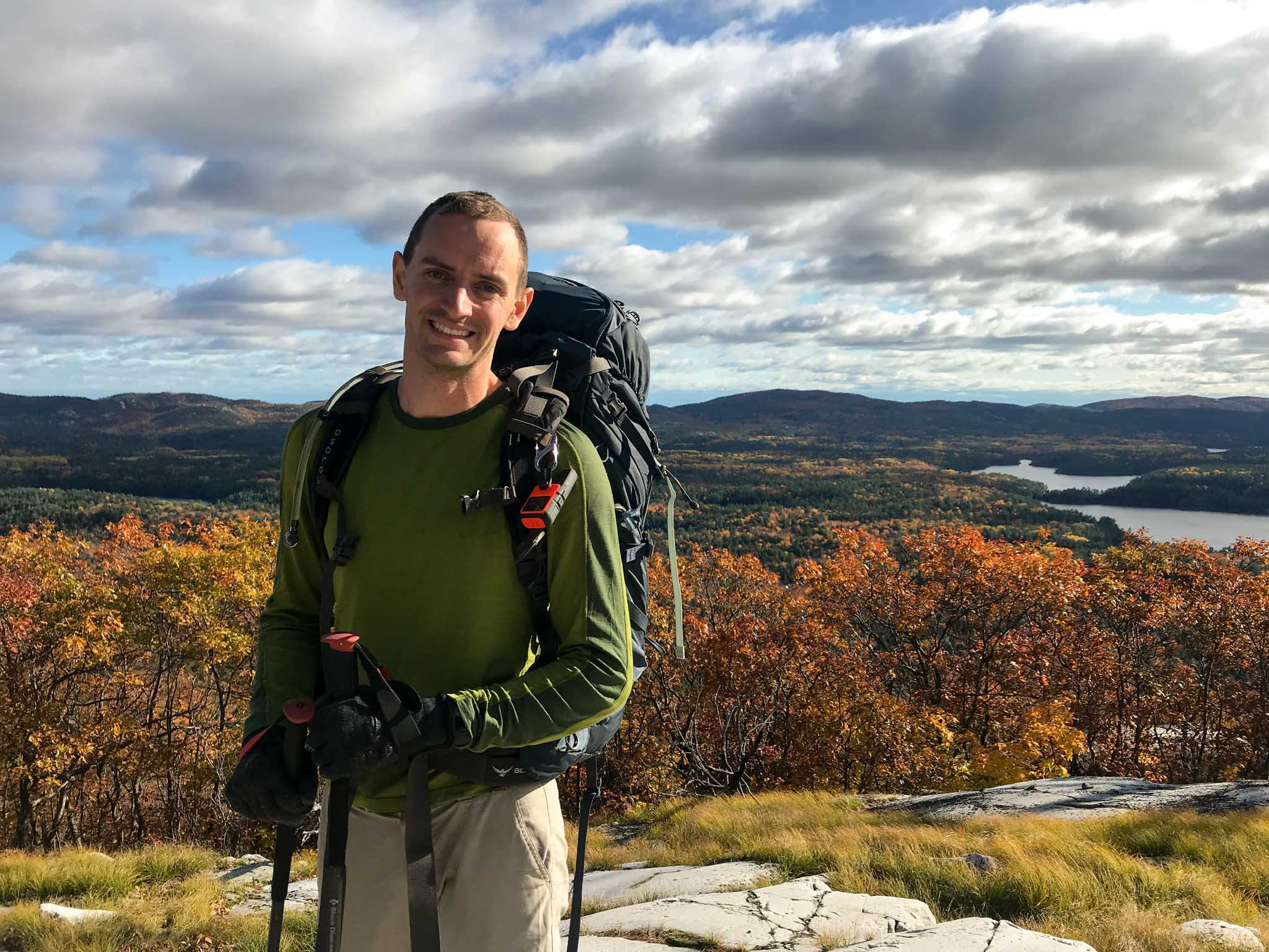
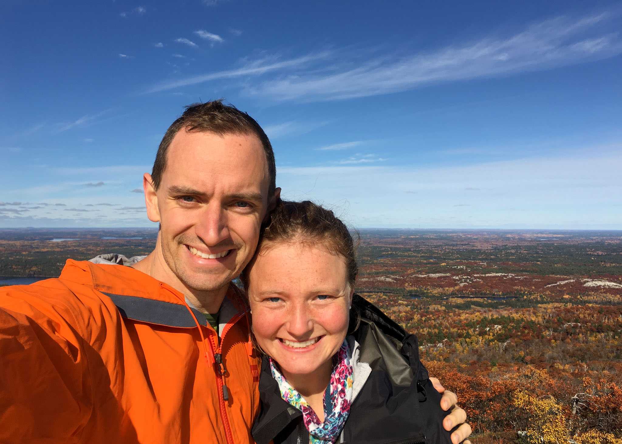
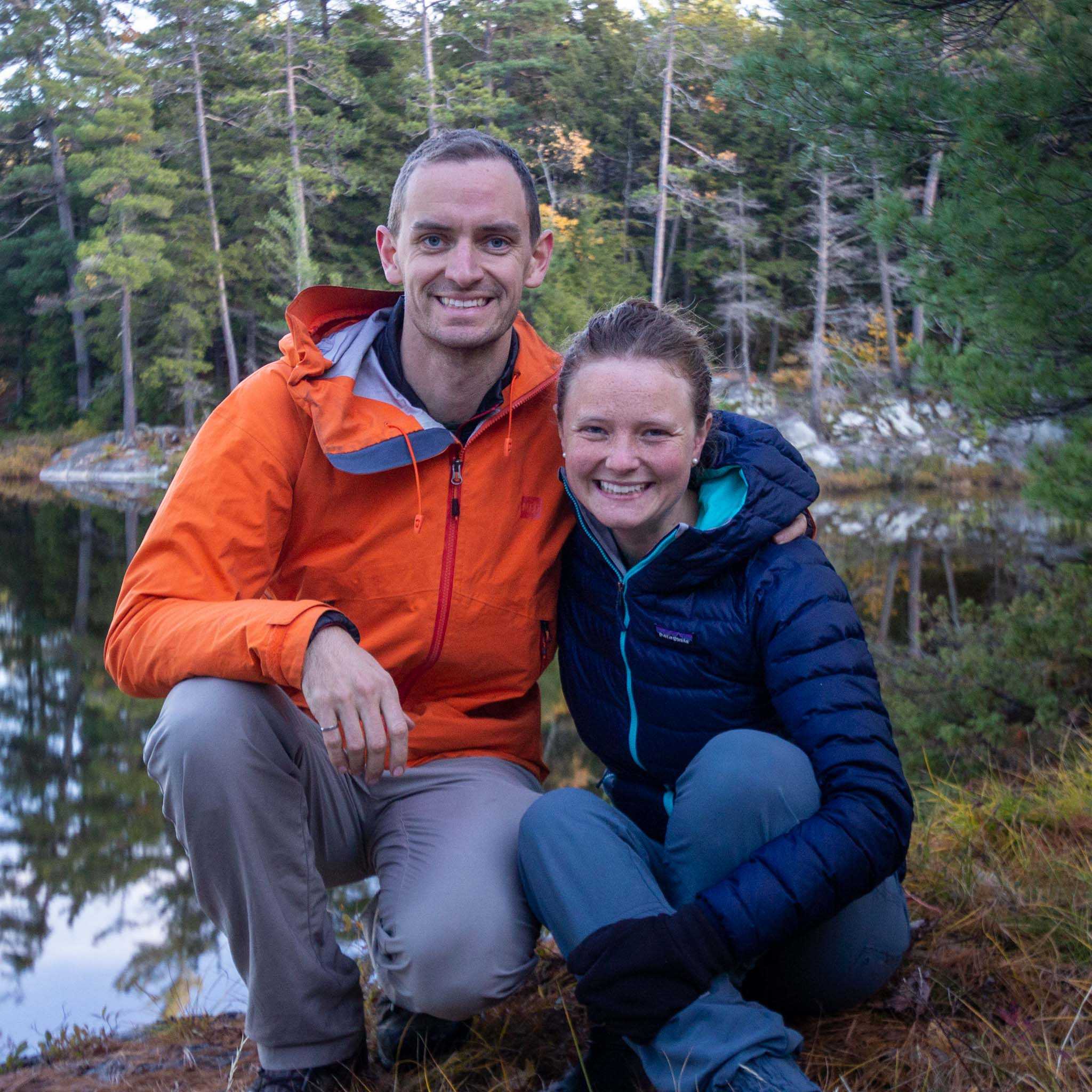
To celebrate our one year anniversary Tim and I headed into the backcountry in Killarney Provincial Park, Ontario. Over five days in the middle of October we covered 80km on the La Cloche Silhouette Trail, a loop trail that goes up and over Killarney’s many peaks and around its numerous pristine lakes. Heavy rainfall early in the hike made for a couple challenging days and moments of questioning why we thought this was a good way to celebrate our anniversary. However, the sun eventually came out, and with it our spirits lifted and we remembered why we enjoy backcountry hiking.
Route Planning
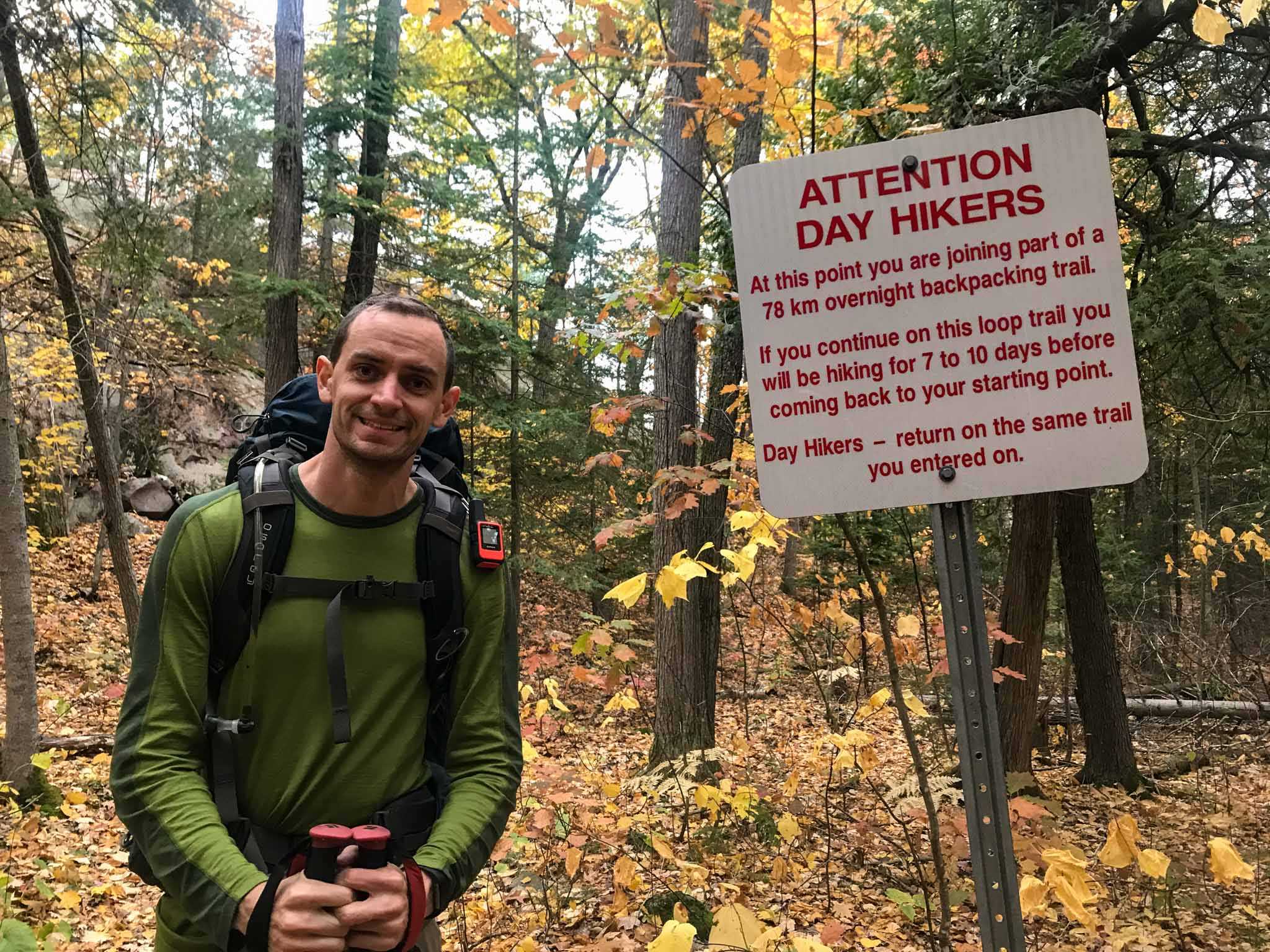
The park suggests planning for 7-10 days to complete the 80km loop, and online reading had informed me that while possible in less, more days was highly recommended for an enjoyable time. Despite knowing this, we booked ourselves in for 4 nights on the trail, figuring that with the cold weather we would prefer to boogie.
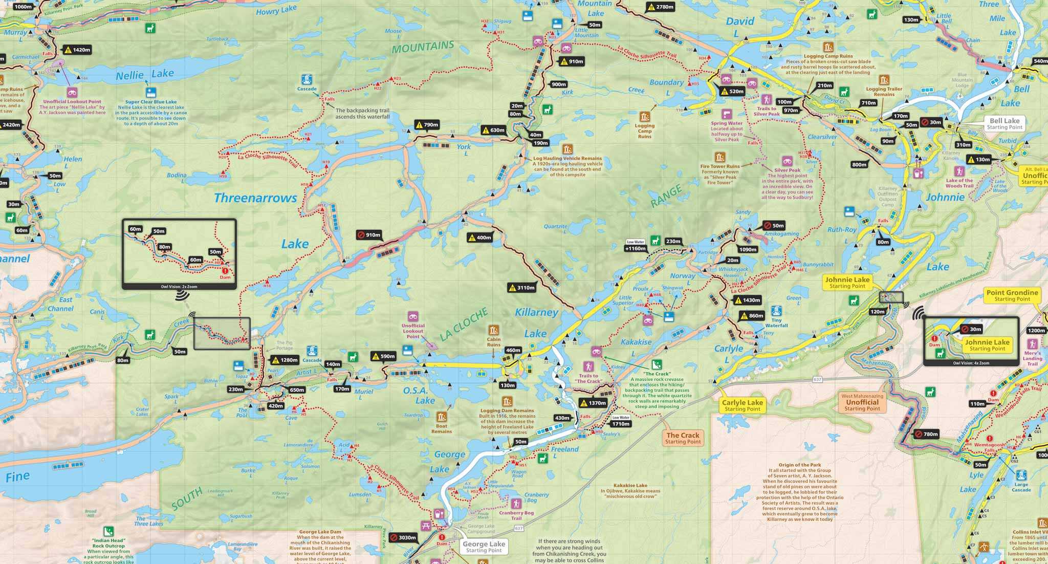
Route planning was tricky, particularly because Killarney’s backcountry sites are not available for online bookings. This meant that I had to call and ask for every available site on the loop in my date range (and my date range was large because of limited site availability!), and then off the phone figure out the optimal permutation of sites given the availability. To help with this process, I created this spreadsheet to more easily calculate the distances between sites.
**Update: as of 2020 Killarney backcountry sites are now available for booking through the Ontario Parks online reservation system**
We landed on the following route:
| Day | Campsite | Distance |
|---|---|---|
| Day 1, October 15th | H5 | 7 km |
| Day 2, October 16th | H20 | 19 km |
| Day 3, October 17th | H33 | 14 km |
| Day 4, October 18th | H38 | 15 km |
| Day 5, October 19th | Home | 23 km |
A note on the campsites we stayed at:
- H5: nice tent site for one, would have been hard to put more than one tent
- H20: do not recommend, as the only tent site was sloped and in a stream in heavy rains
- H33: good site for a group and with a lovely tent spot close to the water
- H38: water access was steep, but other than that it was a great site with two decent (a little “rooty” and sloped) tent sites
Food
There are no bear boxes at the backcountry sites in Killarney, and there are bears around, so we borrowed our friend’s BearVault 550 (thank you Martin!). The BearVault worked great, and had just enough space for four days worth of food for the two of us. I was happy we had the bear barrel, as we encountered a bear just 100 metres from the parking lot where we left our car!
Breakfasts
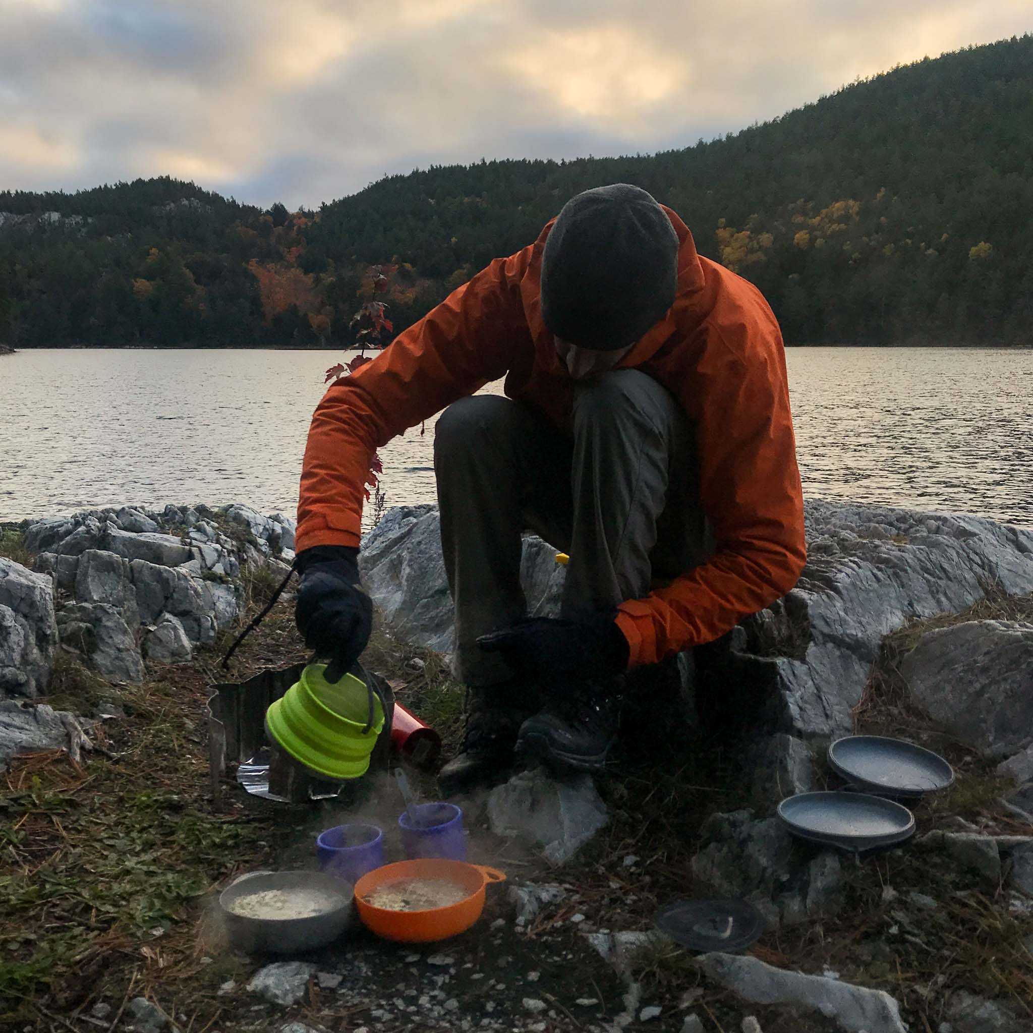
We started each day with hot coffee and oatmeal. We made our own oatmeal mixture full of mixins:
- ½ cup large flake oats
- 2 Tbs hemp hearts
- 2 Tbs pecans
- 1 Tbs raisins
- 1 Tbs chopped dates
For breakfast on our last morning we packed a granola bar and 2 aussie bites to enable us to get on the trail earlier, as we knew we would have a long hiking day ahead of us.
Lunches
We are big fans of simplicity, so packed the same thing for lunch each day. We also like having a more snacky lunch so that we don’t have to have a big stop if we don’t feel like it. The following is what we each rationed per day:
- 2 Aussie Bites
- 1 large pepperette
- ¼ cup trail mix
- 1 babybel cheese
- 2 medjool dates
Dinners
Two of the four nights we planned to share a Mountain House dehydrated meal, and the other two we made our own dehydrated meals ahead of time. The meals were taken from Andrew Surka’s backpacking blog, with some slight tweaks.
Peanut Noodles (see original here)
- 1 packet ramen noodles (discard seasoning packet)
- ¼ cup Powdered peanut butter
- 4 tsp Coconut milk powder
- 1 tbs chopped peanuts
- ½ tsp Freeze dried garlic (Lighthouse brand available at Loblaws)
- 1 tsp Dried coriander (Lighthouse brand available at Loblaws)
- 2 tbs Veggie flakes (available at Bulk Barn)
- ½ tsp seasoning mixture
Pesto Noodles (see original here)
- 1 packet ramen noodles (discard seasoning packet)
- ¼ cup powder parmesan
- 5 sundried tomatoes, cut into slices
- ¼ tsp freeze dried garlic (Lighthouse brand available at Loblaws)
- 1 tbs freeze dried basil (Lighthouse brand available at Loblaws)
- Salt and pepper
For us, the fewer the dishes the better, so we always use our pot just for boiling water, and then pour the boiling water into our bowls to cook our breakfast and dinners. We’re big fans of our Sea to Summit Delta bowls as the lid allows us to easily cook our meals in the bowl.
Can’t forget about dessert! We packed two Lidnt chocolate bars to share between the two of us over the four nights.
The Hike
Day 1
Start: 3:00pm from George Lake Campground
Finish: 5:30pm at H5 campsite
Distance: 7km
Weather: Rained in the afternoon and evening
We arrived at the park office shortly after 2pm to pay our final bill and buy ourselves the Killarney Backcountry Hiking and Canoe Map. The trail starts and finishes at opposite ends of the campground. Given we had planned for a long last day, we parked the car at the Eastern end of the campground so that we wouldn’t have to walk the extra 20min through the campground on our final day.
The 7km hike into camp was uneventful and relatively easy. The rain started an hour into our hike, but kindly let up while we ate our dinner. The rain picked up as we finished dinner and so we were quick to get into our dry tent and warm sleeping bags.
Day 2
Start: 9:30am from H5 campsite
Finish: 6:10pm at H20 campsite
Distance: 19km
Weather: Rained steadily from 10:45am onwards, with a short 2hr reprise from 4 to 6
It was a grueling day. As we lay in bed at night listening to more rain, we asked ourselves “Why did we think this would be fun?” I pulled out my phone and put on “Take Me Home, Country Road”. There’s no sugar coating the day - it was really tough. We hiked for 8 hours and 40 minutes, most of it in the rain, without more than a few 5 minute stops in the cover of a tree to refuel with some food. The trail was a lot more challenging than expected because of the heavy rainfall the night before, and all day we were racing against the clock to get in before the sun set at 6:45.
I’m getting ahead of myself, I will start at the beginning.
The morning started out fine enough. Despite having poured rained all night, we stayed dry in our new tent and, thankfully, the rain stopped for the morning pack up and breakfast. Hot coffee and tasty oatmeal in our bellies, we were feeling good.
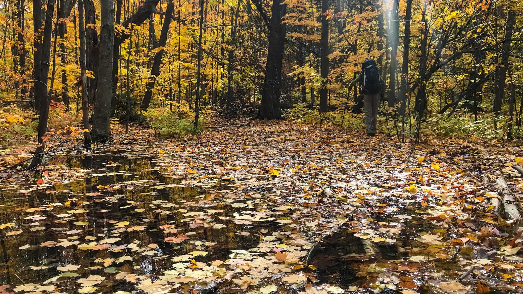
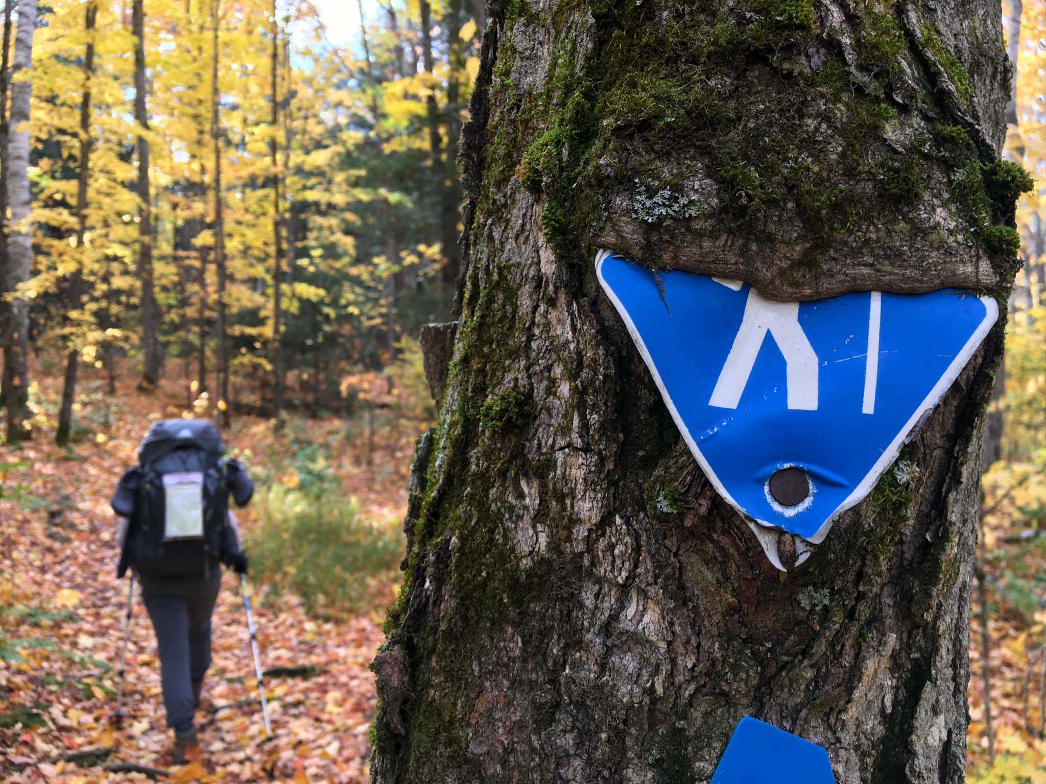
Challenge #1: Within 10min of hiking we encountered our first boggy mess of the day, and it turned out it wasn’t the last. The forest floor had completely flooded with the previous night’s rain. I veered deep into the woods trying to get around it, but to no avail. As we made our way through the day we discovered the trail was more bog or river than trail, but we were none the wiser at this point in the day and so went to great lengths to try and keep our boots dry.
Mid morning we met two girls who had started out the same time as us the day before. They were calling it quits and going home. I remember saying to Tim, “after all the planning and preparation this hike required, I can’t imagine calling it quits after one night!”. By the afternoon I was thinking those girls were really smart.
Challenge #2: At 10:30 we arrived at a river that had no way over by rock or log skipping, and at its shallowest it appeared to be knee deep. So, off our boots came (and pants for me), and across the river we waded. It wasn’t challenging to cross, just unexpected and time-consuming changing in and out of our boots.
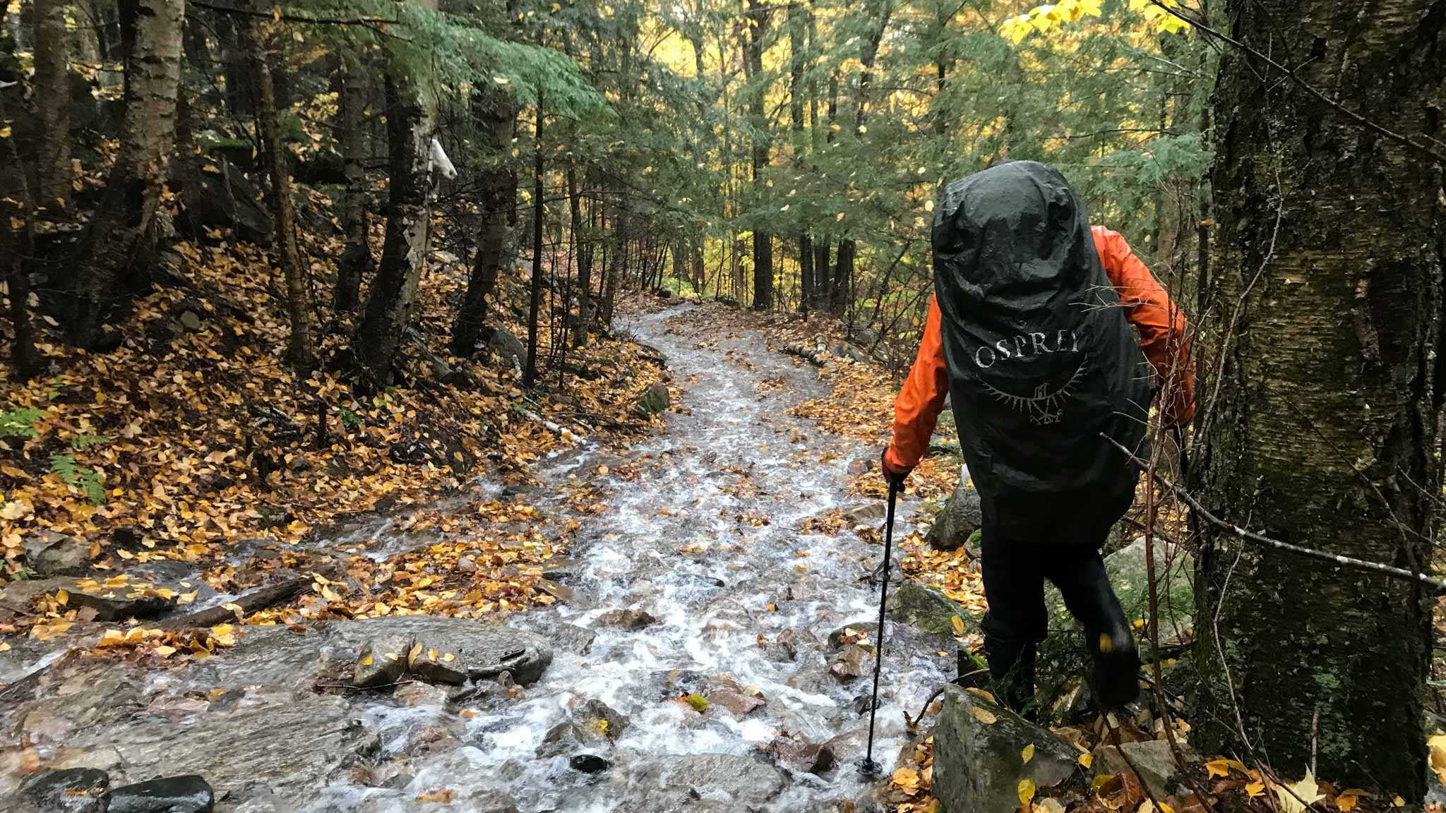
Challenge #3: Between The Pool and The Three Narrows there is a 1.3km portage called “The Pig Portage”. Despite its incline, I think I would have enjoyed this section of the trail the day prior as it is a wide path and has relatively even footing. However, with the heavy rainfall the trail had become a gushing river, in both directions. We spent most of the portage bushwhacking through the woods or carefully balancing on the edge of the trail.
By the time we reached campsite H8 (7km of 19km done), I was exhausted. The rain had made the trail a lot more challenging than expected, and was also getting my spirits down. We were both seriously doubting whether we could make it to our campsite by nightfall.
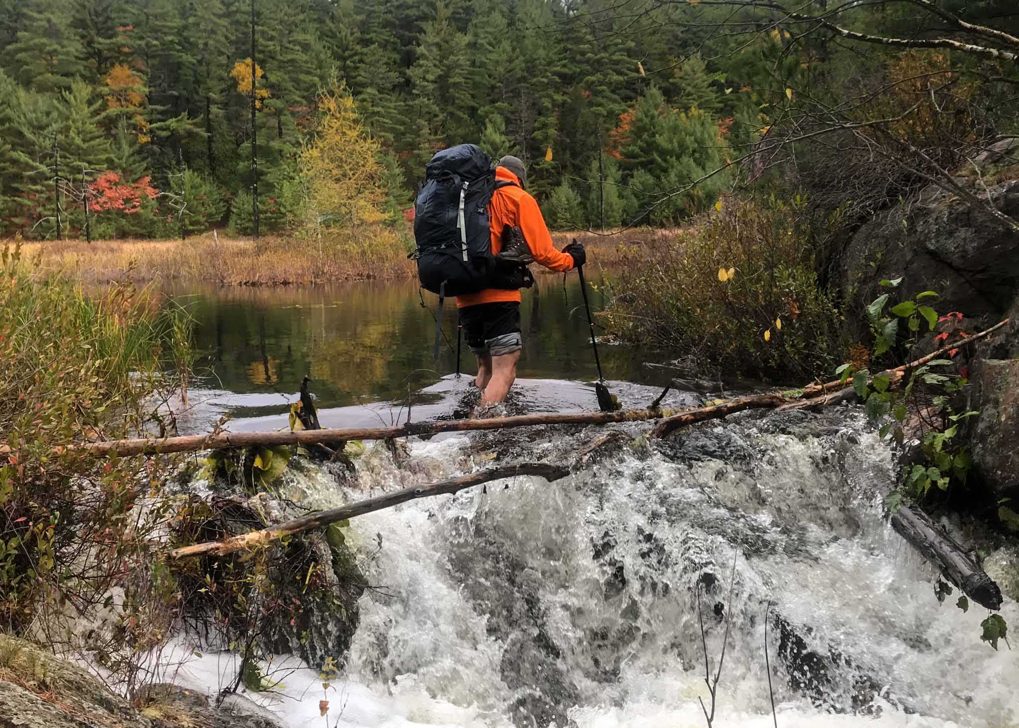
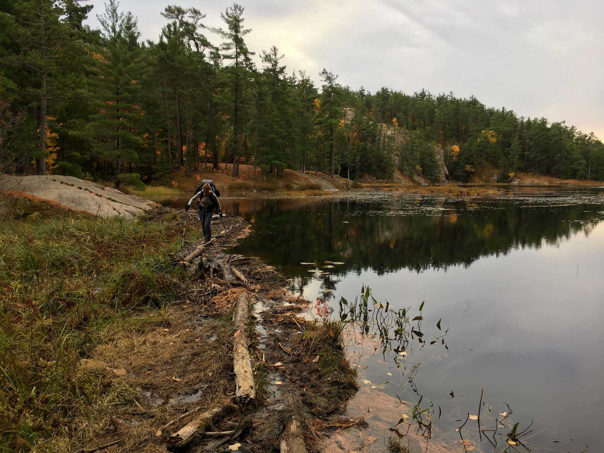
Challenge #4: Half way between H8 and H16 we encountered a beaver dam and lost the trail. We ended up crossing a little south of the trail along the lower ridge of the dam. It’s likely that this would have been an easier crossing at other times, but the rain meant I had a close call as a leapt with my pack across the mid-section of the dam.
“That was not so bad, that was not so bad, was it?”
At this point in the trip we have this verse stuck on repeat in our heads from Blanco Brown’s song ‘Git Up’. This mantra kept us going through every bog, hill, and river.
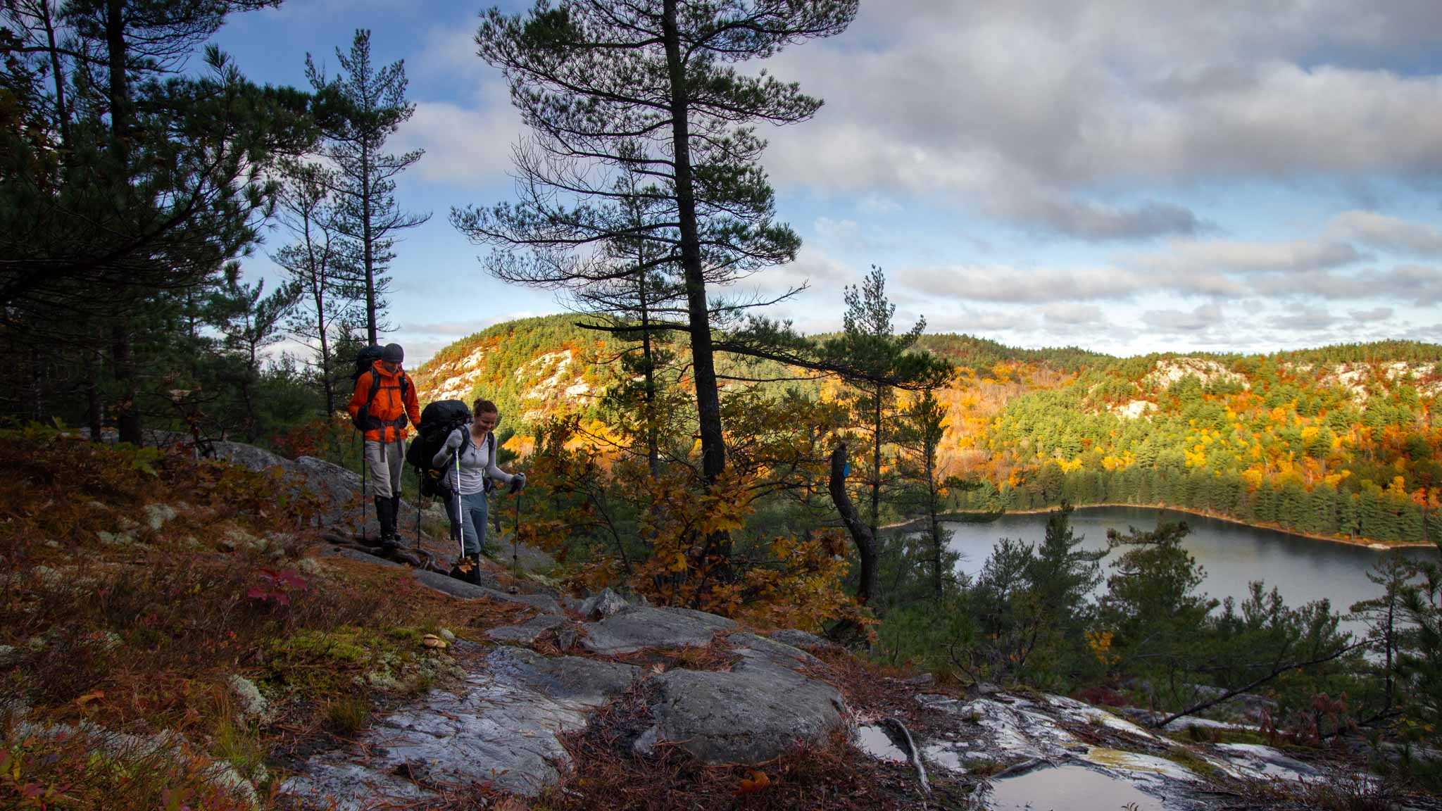
The highlight of the day was hiking the section of the trail from H17 to H19. The trail ascended to a ridge and we hiked along the steep bank of Three Narrows Lake, giving us our first real views of the hike. The rain let up for most of this section, and with only 5km remaining, we started to feel that we might actually make it to camp before nightfall. No pictures to show for it though - we were really boogieing!
Fifteen minutes before arriving to camp the rain started up again. We were so close! The rain was steadily picking up so we quickly set up our tent and hopped in to get out of the rain and to warm up. We decided to skip dinner in favour of staying in our dry tent. Heavy rains and strong winds continued overnight.
Day 3
Start: 10:00am from H20 campsite
Finish: 6:20pm at H33 campsite
Distance: 14km
Weather: Blue skies and sun!
Woke up at 7am thankful not to be hearing any pitter-patter overhead. It was rough putting on wet socks and soaking boots, but once we were on the trail and moving hedonic adaptation kicked in and we soon forgot about the wet feet.
That is until 15min later…
...When we come across a river that had no way to get across except wading through it. The cold water crossing itself wasn’t so bad, but having to put our wet socks and boots back on was the worst part.
“That was not so bad, that was not so bad, was it?”
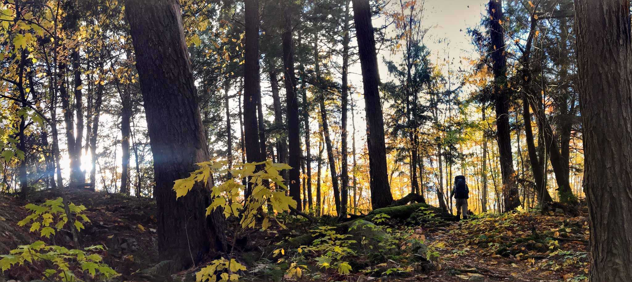
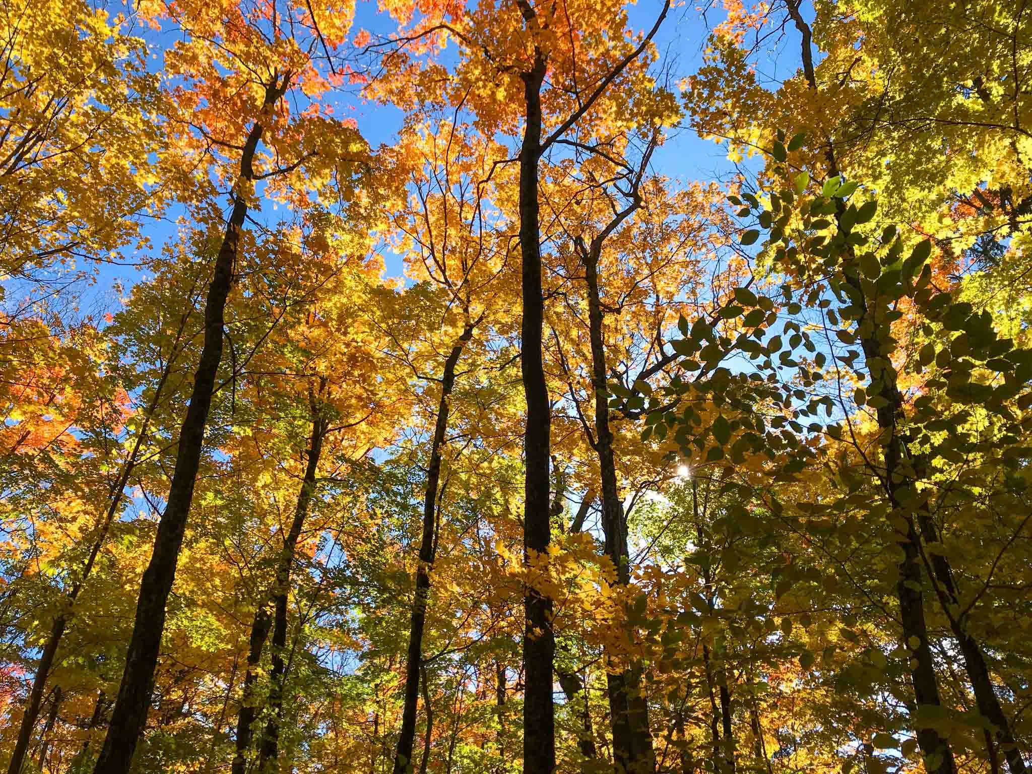
Thankfully, we needed the song less and less as the day went on. The sun came out, and was so beautiful dappled through the orange and yellow leaves.
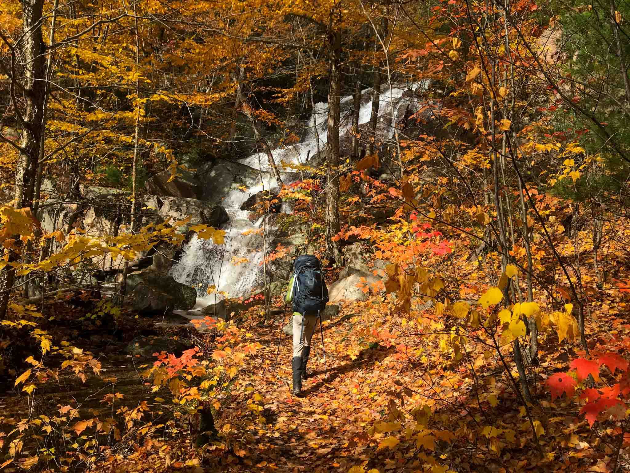
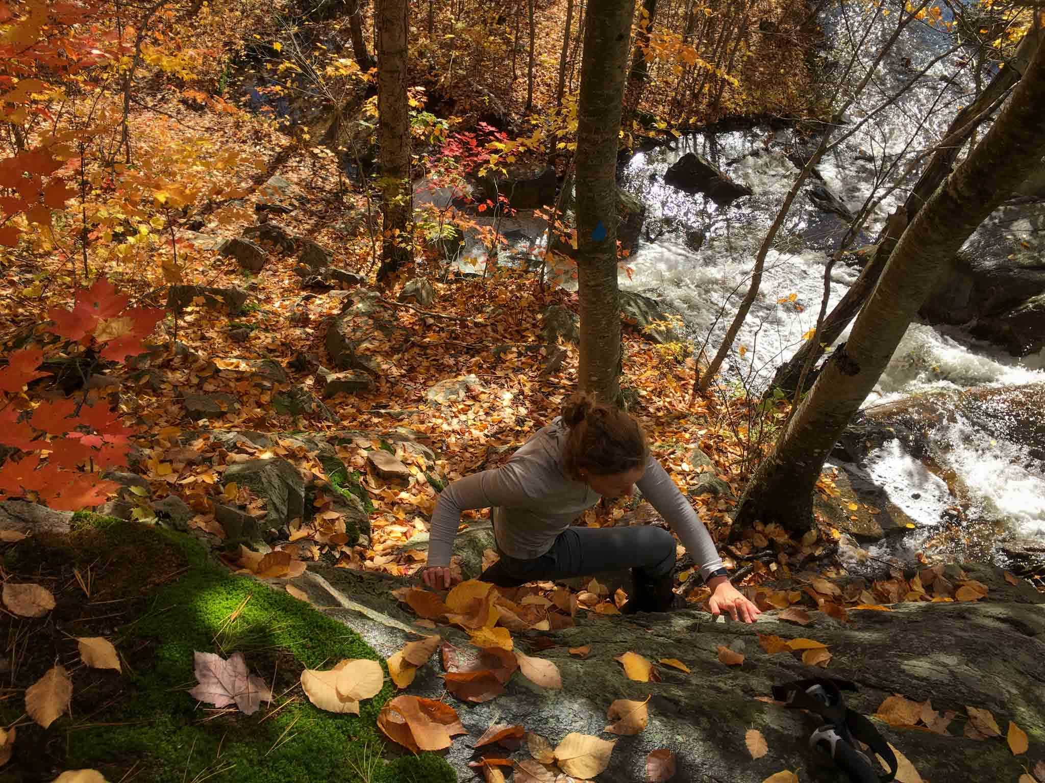
The map warned us having to ascend a waterfall 5km into our day, but for once, the task was easier than expected. It helped that Tim hoisted my pack up for me, allowing me to take a route that kept me dry.
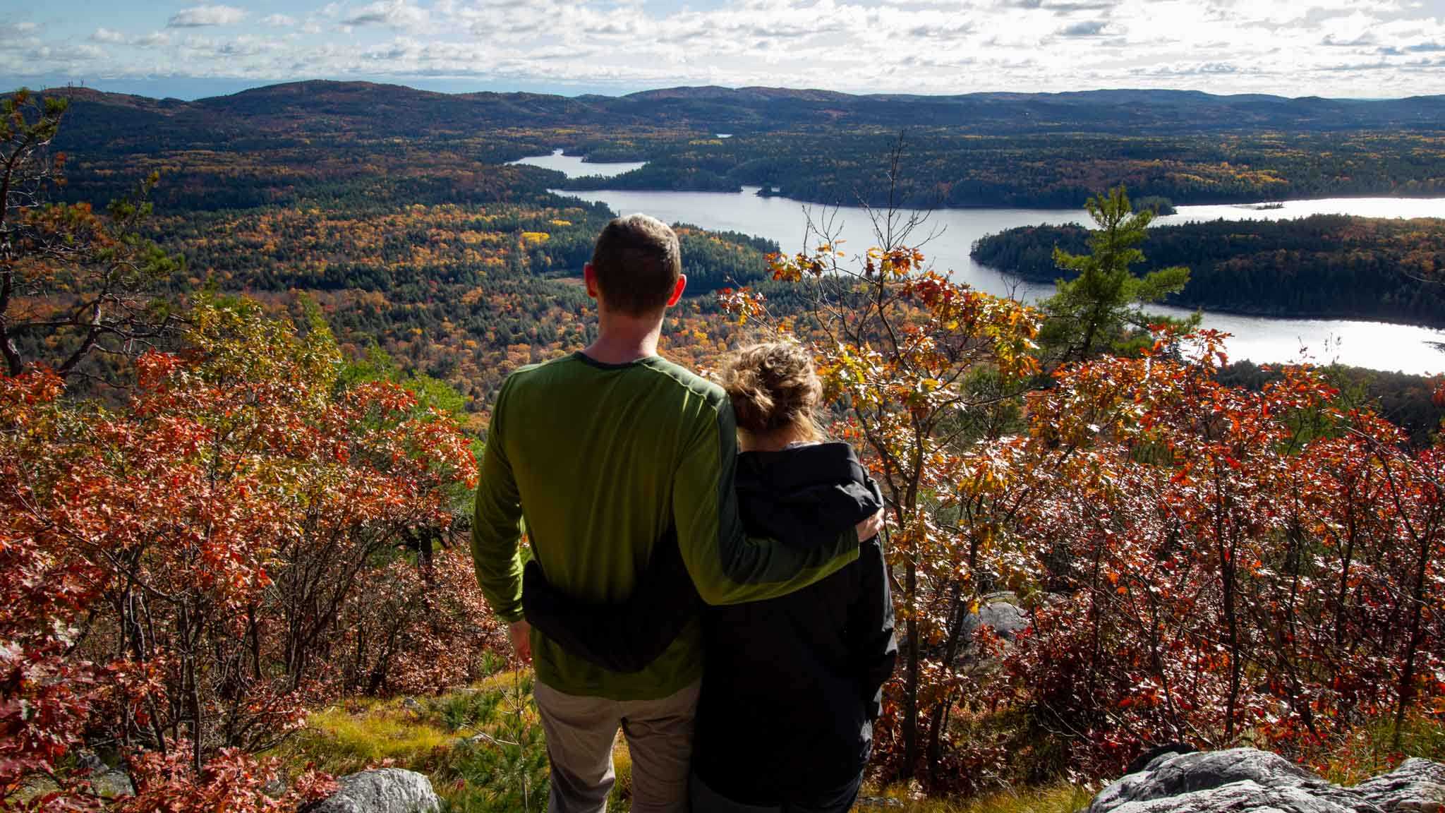
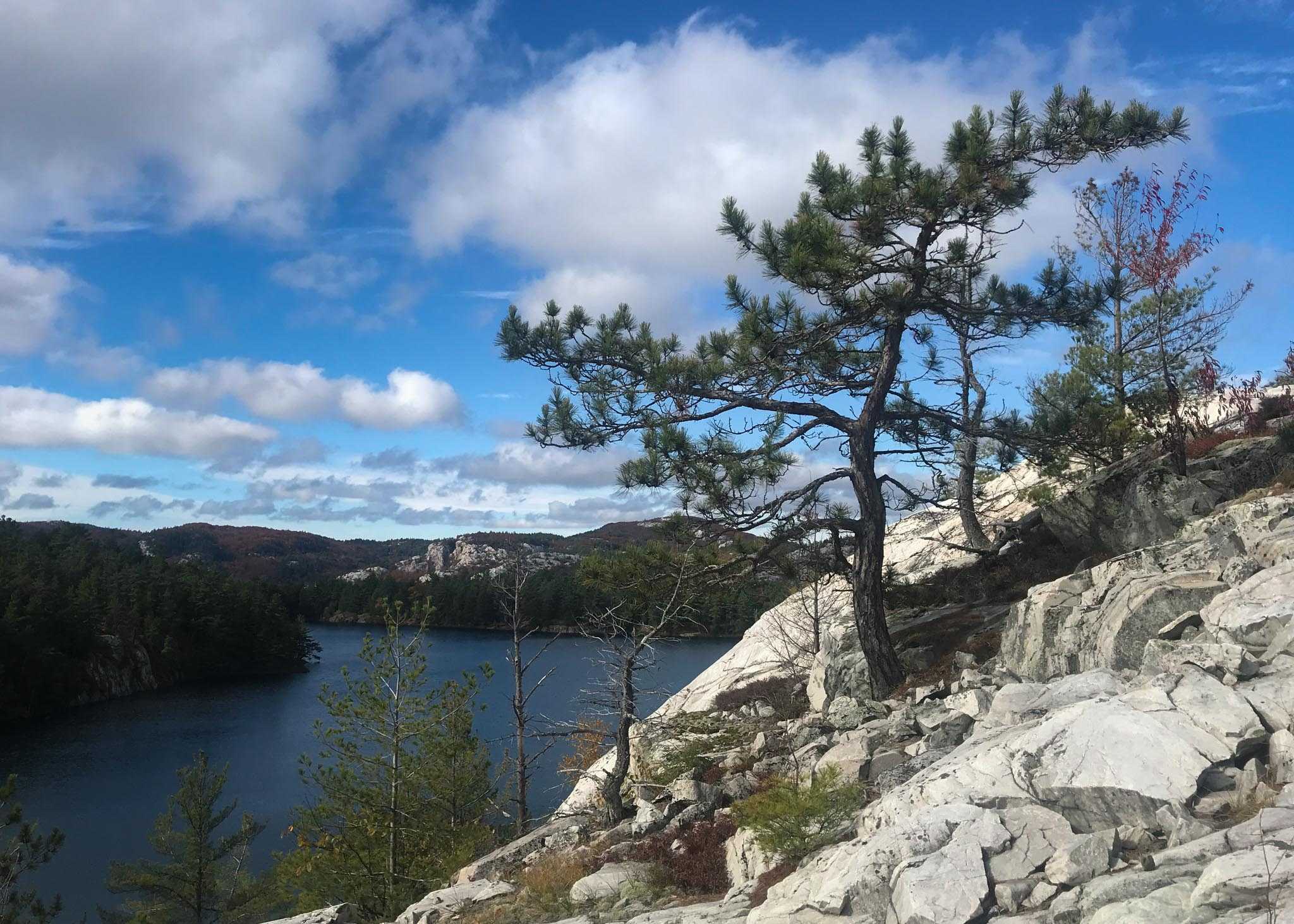
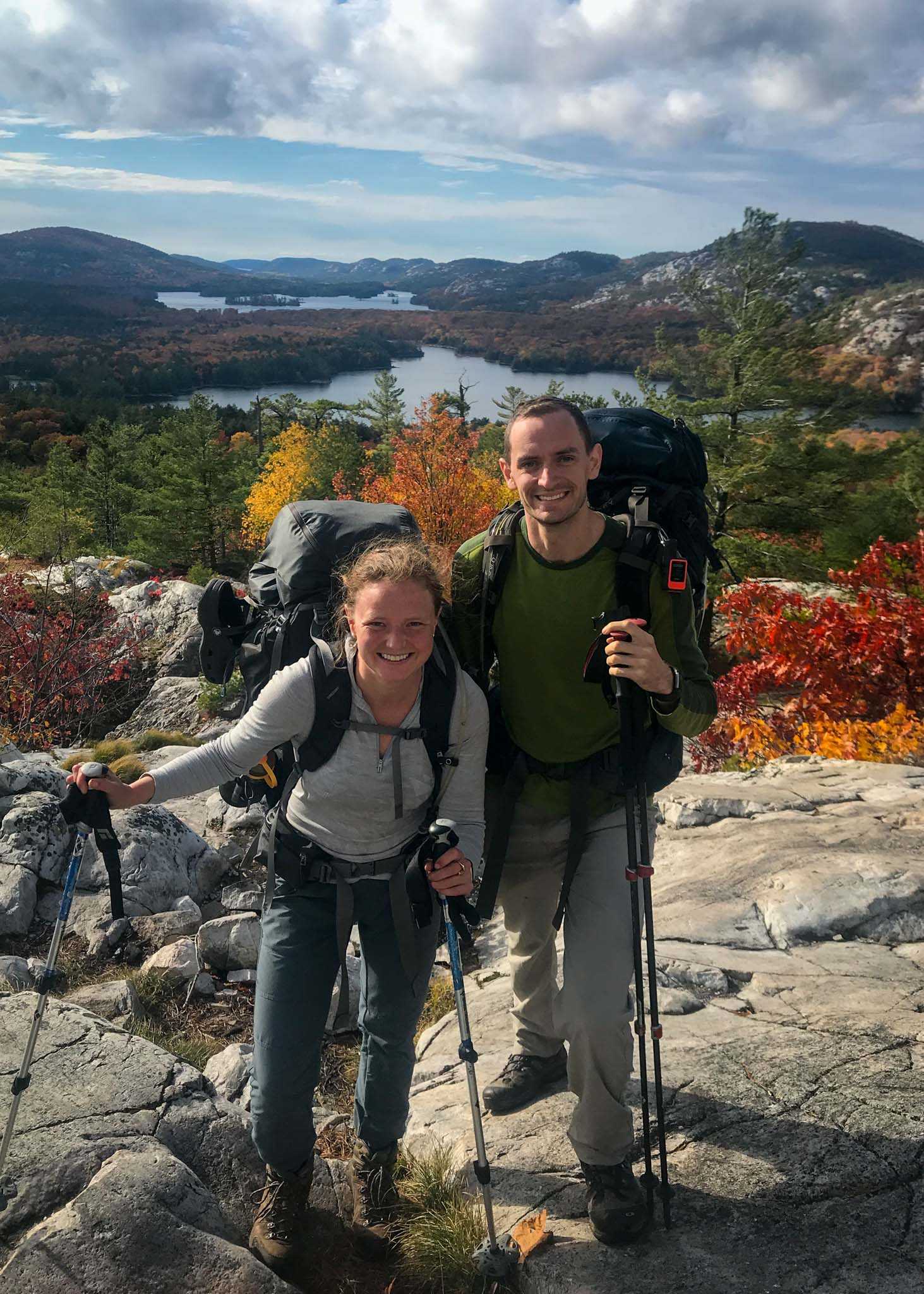
Eight kilometres into the day we ascended another peak and were rewarded with a vista overlooking Three Narrows Lake. The sun felt so good that we took off our boots and enjoyed the view for the better part of an hour. By the time we laced our boots back up, we were racing against the clock again to make it in before light!
We remained at a higher elevation for another couple kilometres, enjoying a few more vistas, before descending into the forest for a brief moment. The wooded forest brought its own unique beauty and contrast to the vastness from the peaks.
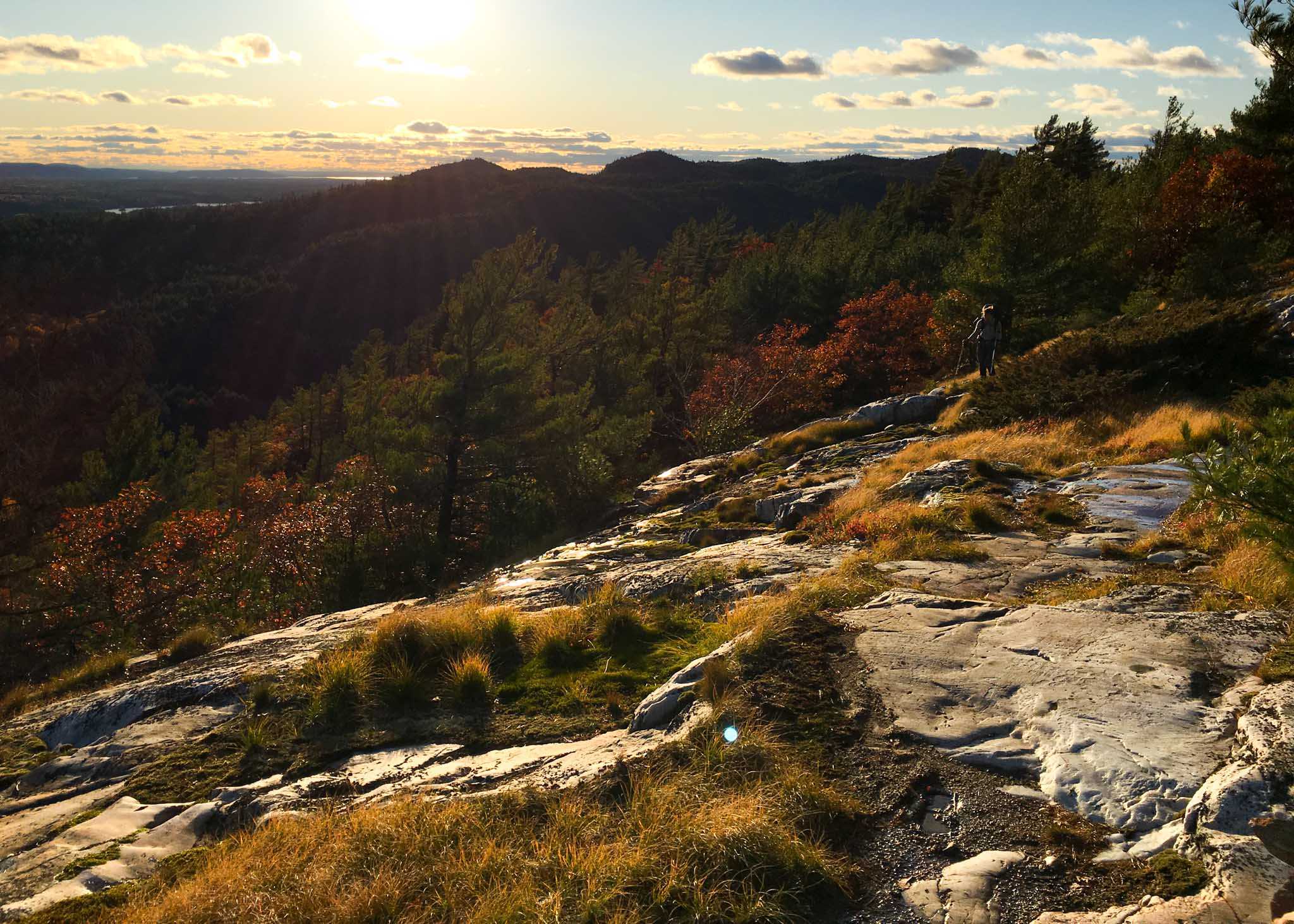
And then back up again we ascended for our final peak of the day. It felt magical being on the peak with the sun low on the horizon.
Made it into camp with a few minutes to spare, and set up our tent in a grove of trees right by the water. As well fell asleep at night we could hear the waves gently lapping on the shore.
Day 4
Start: 9:00am from H33 campsite
Finish: 4:35pm at H38 campsite
Distance: 15km
Weather: Another sunny day
Today we were very intent on getting into camp earlier and having a roaring fire to dry out our boots (yes, they were still wet from day 2). With this in mind, we also thought it would be the perfect day to enjoy breakfast with the sunrise. We knew the sun rose just after 8am, and so we had our water boiled for quarter after eight. Despite the best intentions, we miscalculated how long it would take for the sun to get over the surrounding hills to reach us.
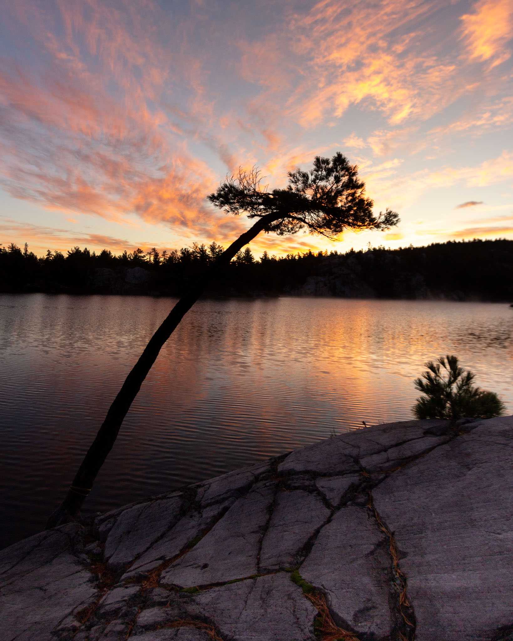
The sun finally poured through as we were strapping on our packs at 9:00am. We had a small summit to tackle first thing in the morning, which gave us a view back to our breakfast rock. I loved how the sun lit up the hills across from us.
Early afternoon we reached the split off for Silver Peak, a 4km round trip to the highest peak in the area. The path goes up and back the same way, so we left our packs at the base of the trail and summitted light and free as a bird.
Despite the incline, we flew up the mountain without our packs weighing us down. How wonderful it felt!
After Silver Peak the trail was wide and easy for 1.5km, with enough room for us to walk side by side. It was a welcome change from scrambling the peaks, or root skipping through the boggy forest!
We made it to camp early as planned and had a perfect night by the fire. Brian and Chris, who started on the trail at the same time as us, and we had crossed paths with most days, were at the site across the lake, and it was magical and comforting to see the glow of their fire in the distance. The rock was smooth and flat enough by the fire that we saw shooting starts as we lay on our backs, stretching out our legs.
Day 5
Start: 7:45am from H38 campsite
Finish: 6:00pm at George Lake Campground
Distance: 23km
Weather: More great hiking weather - blue skies and reached 10 degrees by the afternoon
The previous night was the coldest of the trip, and it made for a cold morning packup. When I retrieved the Bear Vault, I discovered it covered in frost.
With 23km to cover, and only 10.5 hours of daylight, we knew we had to get on the trail ASAP, so we packed up in the dark and hit the trail at 7:45, as soon as there was enough pre-sunrise light to see the way.
The day proved to be mentally challenging. The weather was perfect, and our boots had mostly dried by the fire, but the knowledge of the distance we had to cover is what made the day so hard. I’m not sure if it was just my mental state, but it also felt like a challenging day due to the number of small summits we had to ascend and descend.
My favourite part of the day was the first 14km from Silver Lake to the Crack. The viewpoints felt endless, and we remained in quiet peacefulness, only seeing 3 other hikers.
We could hear the ‘The Crack’ before we could see it - there must have been 40 people at the lookout, enjoying the beautiful Fall Saturday. After 3 full days of solitude it was a contrast seeing so many people.
Although it was a grueling day distance-wise, I was glad we were hiking all the way out after reaching ‘The Crack’. Once we’d been re-acclimatized to people, a little of the backcountry magic disappeared, and it felt like a natural end to the trip.
A note for future trips: if you can stay at site 48 or 49, before reaching ‘The Crack’, it would have nicely broken up the 23km day.
We really picked up our pace the last 6km, which were flat and easy, and made it to the car 40min before sunset. The road leaving the park was riddled with car-wrecking potholes, and so were happy to drive most of it in the light.
We had a celebratory McDonalds dinner in Parry Sound, and after a few more hours of driving home to Toronto, had a restful night’s sleep in the warmth and comfort of home.
